Daily Weather Forecast
09 April 2026Announcement Date 09 April 2026
Forecast Additional Video Formats
General Situation
09 Apr 2026Image:
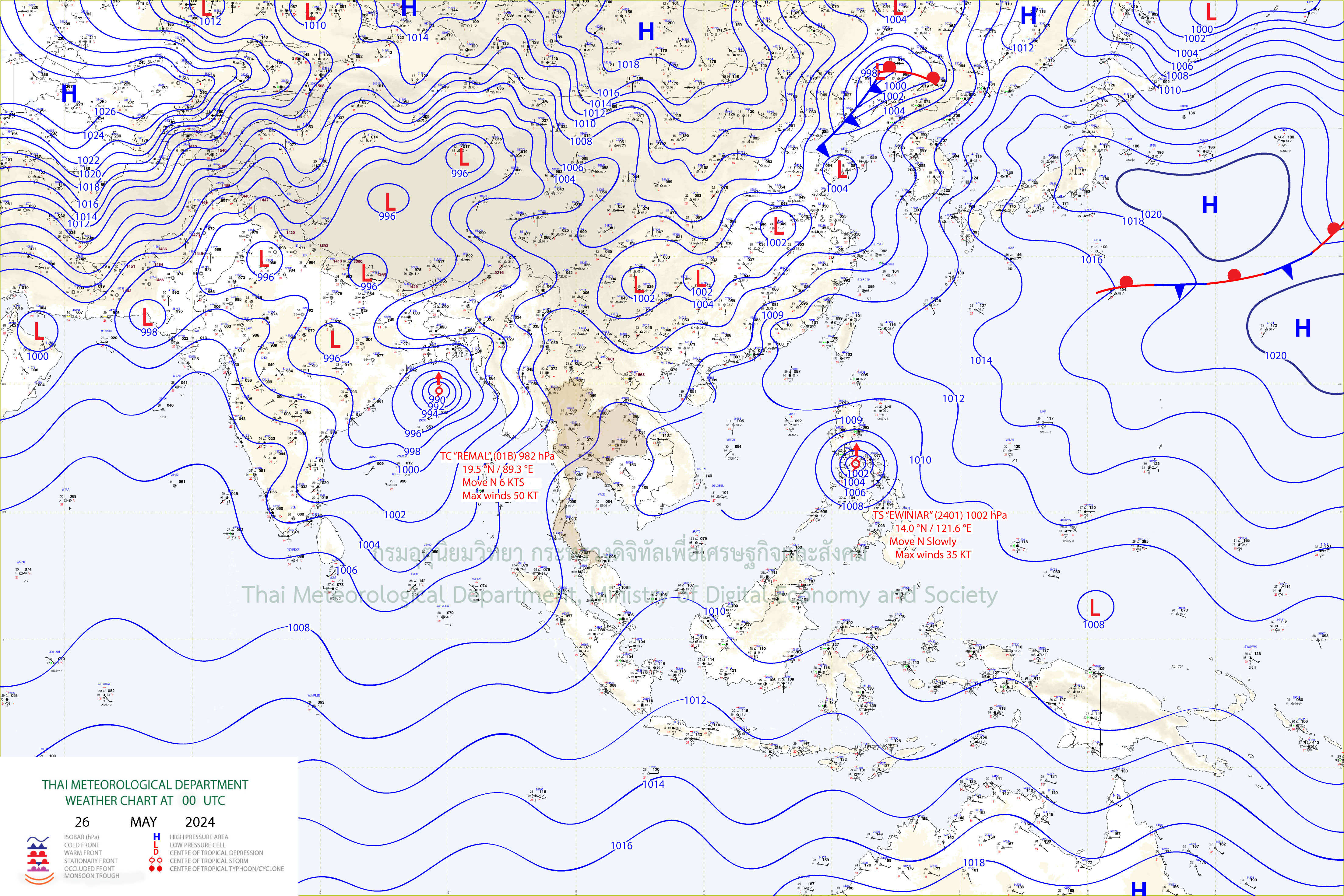
Weather Map
The heat low-pressure cell covers upper Thailand. Hot to very hot during the day with haze are likely over the upper country. Meanwhile, the weak southerly and southwesterly winds prevail over upper Thailand with isolated thundershowers with gust. People should keep healthy due to hot to very hot weather and beware of severe conditions. The westerly wind prevails over the Andaman Sea, the South and the upper Gulf while the southeasterly wind prevails over the lower Gulf. hot during the day with isolated thundershowers and gusty wind and are likely in the South while heavy rain is possible in some areas of the South (west coast).
Bangkok Metropolis and Vicinity Forecast
06:00 Today - 06:00 TomorrowDay hot with haze and isolated very hot. Minimum temperature 26-28 °C. Maximum temperature 36-40 °C. Southerly winds 10-15 km/hr.
Announcement Date 09 April 2026
Weather Province Additional
7 days Weather Forecast
9 - 15 April 2026Forecast
During 10 – 15 Apr 2026, the weather still hot to very hot and haze during the day because of heat low pressure cover upper country with weak southwesterly wind prevail across Thailand For the South, the westerly wind prevails over the Andaman Sea , the South and the Gulf with isolated thundershowers in the South. The weak winds and waves in the Gulf and the Andaman Sea throughout the period.
Announcement Date 09 Apr 2026
7 day Weather Summary
30 March 2026 - 05 April 2026Forecast
The heat low-pressure cell covered upper Thailand throughout the week. Additonally, the weak southerly and southwesterly winds prevailed over the mentioned areas.These conditions caused generally hot weather over upper Thailand, particularly in the northern, northeastern and central regions where temperature increased and very hot weather were observed in some areas. For the southern region, hot weather was observed nearly the whole areas almost the week. Rainfall was mainly observed at the beginning of the week due to the influence of the easterly and southeasterly winds prevailed over the Gulf of Thailand, southern region and the Andaman Sea.
Announcement Date 06 Apr 2026
Previous
Monthly Weather Forecast
November 2022Forecast
Upper Thailand will be more cold especially the northern and northeastern regions with some thunderstorms on certain days. For the mountain tops, mountain peaks, and mountain ranges, the weather is generally cold. This is because The high pressure area from China will extend to cover the North and Northeast periodically. It will be mostly moderate power. the southern part It continues to rain heavily. especially the east coast from Chumphon down There are still thunderstorms in 60 - 80 percent of the area with heavy rain in many areas and very heavy in some places.This will cause flash floods and flash floods, as well as overflowing riverbanks in some places. For wind waves in the Gulf of Thailand will be strong. In some periods, there will be waves 2 - 4 meters high, while the Andaman Sea will have 1-2 meters high because the northeast monsoon still prevails over the Gulf of Thailand and the South. It will have strength from time to time. In addition, there will be a monsoon trough that lies across the central South in some periods. In addition, in some periods there will be an active low pressure cell moving closer. and has a high chance of moving through the southern region
Announcement Date 01 November 2022
